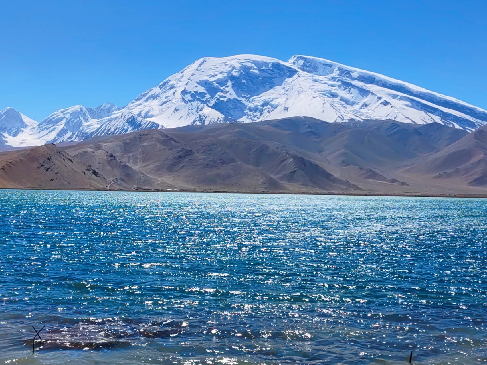
The topography of Xinjiang can be summarized as "three mountains with two basins" : the Altay Mountain in the north, the Kunlun Mountain in the south, and the Tianshan Mountain across the middle, dividing Xinjiang into two parts, the Tarim Basin in the south and the Junggar Basin in the north. It is customary to call the south of the Tianshan Mountain southern Xinjiang and the north of the Tianshan Mountain northern Xinjiang. Hami, Turpan basins as the eastern Xinjiang. The highest point, K2, is on the border with Kashmir at 8,611 meters.
With an area of 530,000 square kilometers, the Tarim Basin in southern Xinjiang is the largest inland basin in China. Located in the middle of the Tarim Basin, the Taklimakan Desert, with 336,700 square kilometers, is the largest desert in China and the second largest desert with shifting sand in the world, second only to the Rub al-Khali Desert on the Arabian Peninsula.
The Junggar Basin in northern Xinjiang covers an area of about 380,000 square kilometers and is the second largest basin in China. The Gurbantunggut Desert in the central of Junggar Basin covers about 48,000 square kilometers and is the second largest desert in China.
To the east of the Tianshan Mountains, there are also the Turpan Basin, known as the "Fire State", and to its west is the Ili Valley, known as the "the south of the Yangtze River". Ayding Lake in the Turpan Basin, 155 meters below sea level, is the lowest point on land in China.
To the east of the Tianshan Mountains, there are also the Turpan Basin, known as the "Fire State", and to its west is the Ili Valley, known as the "the south of the Yangtze River". Ayding Lake in the Turpan Basin, 155 meters below sea level, is the lowest point on land in China.
climate
Xinjiang is located typical continent , far from any ocean, surrounded by mountains, ocean air is difficult to reach, the climate is dry and little rain, forming a temperate continental climate, cold in winter, hot in summer. In the coldest month (January), the average temperature in the Junggar Basin is below minus 20℃, and the absolute minimum temperature in Fuyun County on the northern edge of the basin has reached minus 50.15℃, which is one of the coldest areas in China. In the hottest month (July), the average temperature in Turpan, known as "Fire State", is above 35 .C, and the absolute maximum temperature has reached 49.6 .C, ranking first in the country. The temperature difference is large, the sunshine time is sufficient, because most areas of Xinjiang the temperature difference is very large from summer to winter, so there has a chinese saying it is said "wear fur jacket in the morning, wear yarn at noon, eat watermelon around the stovein the evening". The average annual natural precipitation is only 171 mm, but the precipitation varies greatly, the temperature in southern Xinjiang is higher than that in northern Xinjiang, and the precipitation in northern Xinjiang is higher than that in southern Xinjiang.


