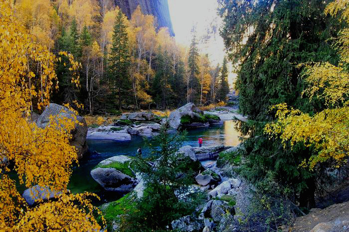
Keketuohai Scenic Spot is located in Fuyun County in the northeast of Xinjiang, covering an area of 619 square kilometers, with an altitude of 1200 ~ 2400 meters. Keketuohai Scenic Area is a national 5A scenic area, Keketuohai is a blue curved river in Mongolian," Keke "means blue" Tuohai "means curved, but in the Kazakh language means" green jungle ", Keke Tuohai National Geopark,consists offour parts they are the Karasengar earthquake fault zone, Yeya Lake, Ilemu Lake and Irtysh Grand Canyon The scenic spot is characterized by super-large granite pegmatite rare metal mines, rich earthquake remains and metamorphic granite landforms of the Irtysh River. The park preserves a large number of extremely precious geological remains and geological landscapes, which are unique in many aspects in the world. There is a rare super-large rare metal mine "No. 3 pit" in the scenic spot, which is one of the largest and most typical granite pegmatite veins containing rare metal ore known in the world. For thousands of years, Keketuohai has been well known for its long history, rich resources and specialties, beautiful mountain scenery, legendary grassland culture and simple human characteristics. It is known as "China's second cold pole".


